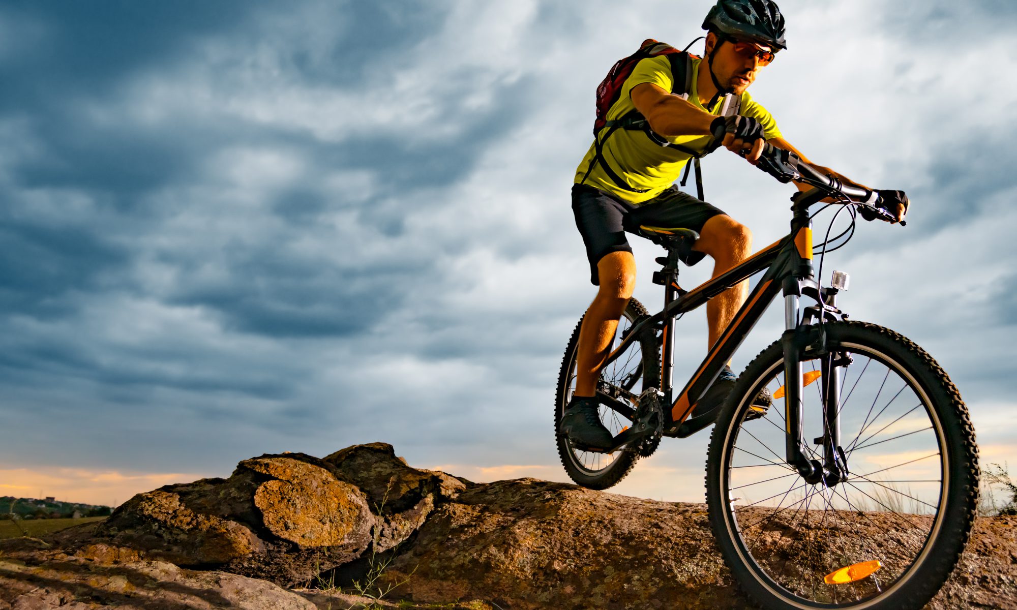
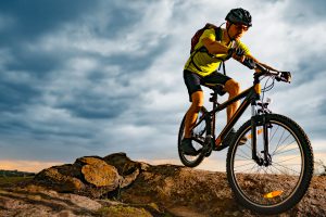
Have you ever wanted to try mountain biking or are you an seasoned mountain bike enthusiast? Steamboat, also known as Bike Town USA, offers a variety of mountain biking and dirt bike trails for all levels. Come test the waters or simply explore the diverse trail system here gorgeous rural Colorado.
Spring/Summer 2023 is a great time to come to Steamboat as many trail systems have been under construction for the past few years, and are now open to the public!
Mountain biking is a great way to appreciate the natural beauty of Routt County and the Yampa Valley while also getting a great workout in. With a variety of trails available to suit all skill levels and preferences, it’s no wonder that Steamboat Springs has become a popular destination for bike enthusiasts from all over the world.
Local’s Tip: Traveling with kiddos? Steamboat Springs has several mountain biking trails that are suitable for families with children. The trails are not too technical, and there are many opportunities to stop and enjoy the scenery.
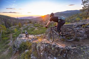
Overall, Steamboat Springs is a fantastic destination for mountain biking. With its diverse terrain, stunning scenery, and family-friendly trails, it’s no wonder that so many people choose to explore the area on two wheels. Read on to learn about 12 local mountain bike trails that will really have your wheels spinning!
12 MOUNTAIN BIKE TRAILS IN STEAMBOAT SPRINGS
1. BUFFALO PASS/LONG LAKE LOOP
- 14 Miles Roundtrip
Take the Buffalo Pass Road, #60 to Summit Lake. Turn right on Road 310 and follow approximately two miles to trail 1101. Park in the parking area and begin biking along the Continental Divide to junction 1102. Turn right onto 1102 to Long Lake. At Long Lake follow the service road to Fish Creek Reservoir. Return to starting point on Road 310.
2. COULTON CREEK LOOP
- 13 Miles Roundtrip
Take Routt County Rd. 129 to Routt County Rd. 64 and continue east for about 4 mi, to NFSR 429 on left. Take Coulton Creek Trail #1188 about 5 mi. north to Cutover Trail #1188A. Follow trail #1188A east for about 1 mi. to Scott Run Trail #1177. Take trail #1177 south for 1 mi. to NFSR 430, then follow this road south about 2 mi. to Routt County Rd. 64 about 2 mi. west back to trailhead #1188. Mostly singletrack trail.
3. EMERALD MOUNTAIN TRAIL SYSTEM
- Distances Vary
From 5th Street downtown, head south and make a right on Howelsen Parkway. Park at the horse stables behind the rodeo grounds or at Olympian Hall. Trailhead starts behind the horse stables near the rodeo grounds. Refer to the Bike Guide for a full listing of trails, difficulty, and mileage.
4. FISHHOOK, LOST, AND LAKE ELMO
- 6 Miles
Take US 40 southeast to Dumont Lake NFSR 315 to NFSR 311. Take 311 north about 4 mi. to Wyoming Trail #1101 at Basecamp Trailhead. (NOTE: 4WD suggested on NFSR 311). Follow Trail #1101 north about 3 mi., past Fishhook and Lost Lake to Lake Elmo. Return to Basecamp Trailhead. Trail # 1101 continues north to the Wyoming state line. This trail includes excellent fishing opportunities.
5. HARE LOOP
- 26 Miles Roundtrip
Take Routt County Rd. 129 to NFSR 550, then north 4 mi. to NFSR 500, then east 2 mi. to NFSR 402, then south 1 mi. to trailhead #1203. Take Farwell Mountain Trail #1203 (single track, no ATVs) southeast about 5 miles to NFSR 409, then follow the road about 3 mi. to Wyoming Trail #1101. Take Trail #1101 north about 10 mi. to Hare Trail #1199, then follow the trail west about 3 mi. to NFSR 520. Take 520 west 3 mi. to NFSR 500, south on 500 about 1 mi. to NFSR 402 and back to trailhead #1203.
6. MAD CREEK TRAIL/HOT SPRINGS TRAIL
- 4.5 Miles Roundtrip
Take Routt County Road 129 to the Mad Creek trailhead. To access the Hot Springs trail, bike back down Routt County Road 129 approx. 400 yds on left (trailhead not marked) to NFSR 128. About ½ mile up, the hot springs trail cuts off to the right. Strawberry Park Hot Springs are private; admission is charged to access the springs. This is a popular mountain bike trail.
7. MANZANARES LOOP
- 27.5 Miles Roundtrip
Take CR 129 to FS Rd 550, then north 4 mi. to NFSR 500, then east 2 mi. to NFSR 402, then south 1 mi. to trailhead #1203. Take Farwell Mountain Trail # 1203 (single track, no ATVs) southeast about 5 miles to NFSR 409, then follow the road about 3 mi. to Wyoming Trail #1101. Take Trail #1101 north about 13 miles to Manzanares Trail #1204, follow the trail west about 5 mi. back to trailhead 1203. This trail offers hilly, rocky sections and steep grades that are challenging.
8. NIPPLE PEAK LOOP
- 30 Miles Roundtrip
Take CR 129 north to Forest Road 047. Turn left and continue about 10 miles to trailhead #1127. Left on trail #1156 about 10 miles. Left on CR 129 back to the car. Hills, rocks, and trees add to the difficulty of this loop.
9. NORTH FORK/DIAMOND PARK LOOP
- 30 Miles Roundtrip
Follow County Road 129 to Clark. Turn right on Seedhouse Road. Continue for 8.5 miles to Road 431 and park in the designated parking area. The trail follows Road 431 to Diamond Park. Turn right on Trail 1101 and follow it back to Road 433. Turn right on 433 and follow it to Road 400. Turn right on 400 and follow back to the starting point.
10. RED DIRT
- 12.6 Miles Roundtrip
Drive west of Steamboat on U.S. 40 approximately 2 miles. Turn north on County Road 129, Elk River Road. Travel about 7 miles to Red Dirt on right side of the road (just past the Mad Creek trailhead). This trail climbs steadily uphill until it drops into the Mad Creek drainage. It is also used extensively by hunters in the fall.
11. RED CREEK LOOP
- 10 Miles Roundtrip
Take County Road 129 to Clark. Follow Forest Rd. 440 east of Clark approximately four miles to junction Rd. 471. Park here. Loop starts at junction. Take left fork (Road 440) to junction with Road 469, turn right and follow 469 to junction with 471. Turn right and follow 471 to starting point. This trail offers beautiful views of the Mt. Zirkel Wilderness.
12. SPRING CREEK TRAIL
- 10 Miles Roundtrip
Access trail at corner of Amethyst Drive and Maple St. Follow Routt County Road 34 (single-lane, rough road) 1/2 mi. to reservoirs. Trail continues approximately 5 mi. to Dry Lake Campground. This is a popular and easily accessible trail within Steamboat Springs city limits.
Check out this interactive trail map. And, if you still have questions, please feel free to reach out and inquire about bike trail status with the Forest Service here in Colorado –> (970) 870-2299 or check out the Steamboat Springs Visitor Center –> (970) 879-0880.
DOWNHILL MOUNTAIN BIKING AT STEAMBOAT BIKE PARK
The Steamboat Bike Park will be OPEN for the summer of 2023! For more information, please call (970) 871-5444 or CLICK HERE to learn more.
Looking for a place to rest easy after a day full of play?
Take a peek at Steamboat lodging with locations on the mountain and Downtown Steamboat Springs…